Spatial
Super-resolution that reconstructs fine detail, from 10 m to 1 m and beyond. The same method applies to aerial and drone imagery, not only satellite.
We call our approach Deep Resolution: resolving imagery not only in space, but across every dimension of the data. This approach runs from the sensor upward — including a patent-pending design for an AI-native imaging sensor — through production models, self-serve products, and custom analytics and services.
Super-resolution that reconstructs fine detail, from 10 m to 1 m and beyond. The same method applies to aerial and drone imagery, not only satellite.
Enhancement across all bands, preserving the full multispectral signal rather than only visible colour.
Resolving what the surface is, at fine granularity, through custom EO analytics such as land cover mapping.
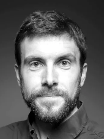
CEO & Founder
Earth observation scientist, independent researcher, and two-time entrepreneur. Machine learning professor at AGH University, Kraków.
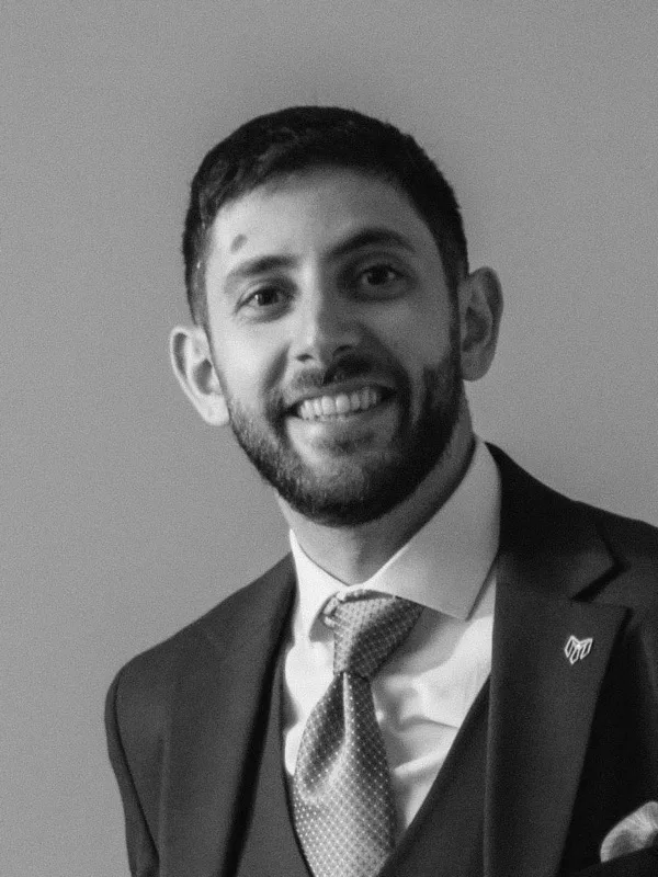
LinkedInCCO & Co-founder
Engineer and two-time co-founder, with twenty years in the geospatial and drone industry across commercial and technical roles.
LinkedInCTO
AI and machine learning expert with a background in astrophysics.
LinkedInCFO
Finance, governance, and operations executive with over fifteen years building organisations for startups and international scale-ups.
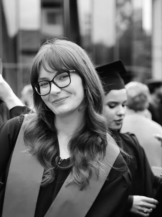
LinkedInProduct Manager
Design leader and product strategist with over ten years in design-led product work, and a long entrepreneurial background.
LinkedInFull-stack Developer
Full-stack web developer with over nine years across frontend and backend, specialising in e-commerce.
LinkedInAI Engineer
AI engineer specialising in super-resolution of hyperspectral data.
LinkedInBusiness Development Executive
Business development executive with a long sales career and deep experience in the drone and robotics industries.
LinkedInESA Business Incubation Centre Switzerland.
Venture Kick.
Cardano Foundation.
We can walk through the model architecture, delivery route, or service fit.