Demo datasets
Explore S2DR Outputs for Your Industry
See what super-resolved, cloud-mitigated S2DR outputs look like compared with the original Sentinel-2 imagery, and how they capture change in before/after comparisons. Open the interactive viewer, or download the full 10-band, 16-bit GeoTIFF for deeper analysis.
21 datasets · catalogue updated 12 November 2026
Category
Industry
Sentinel-2 vs S2DR3
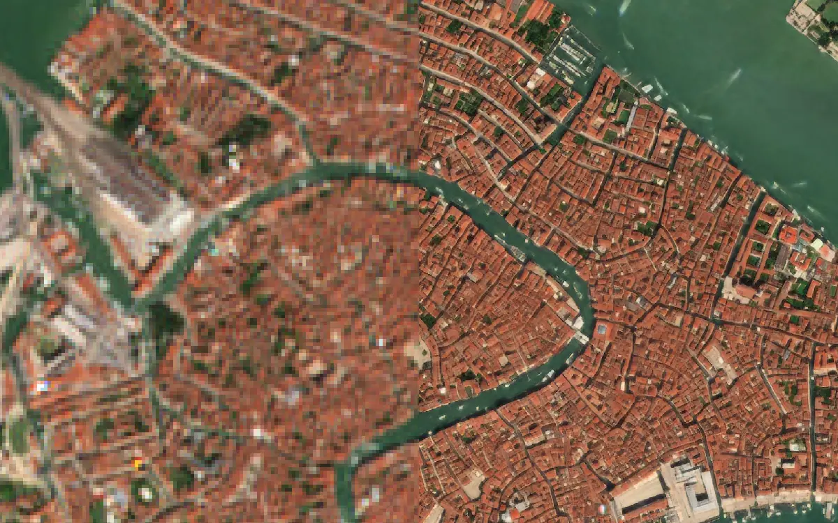
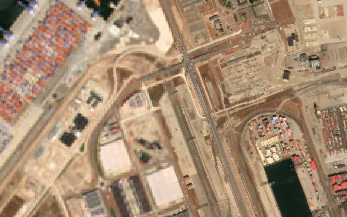
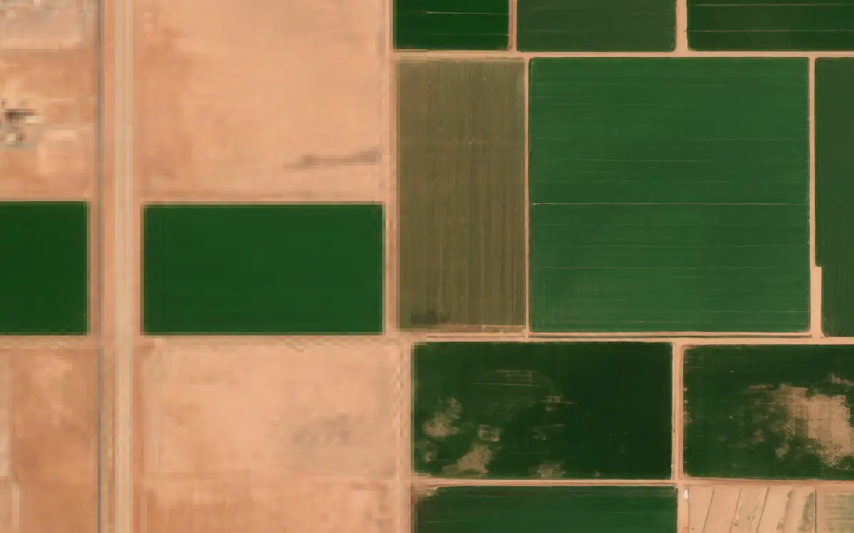
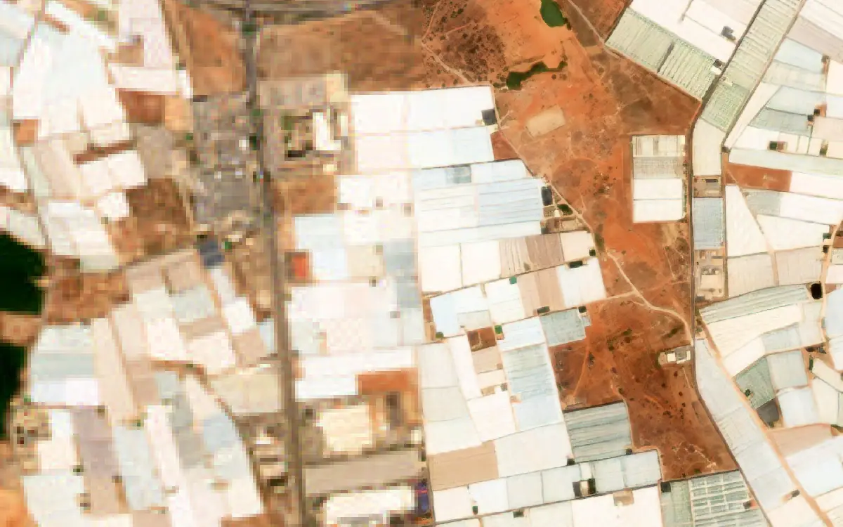
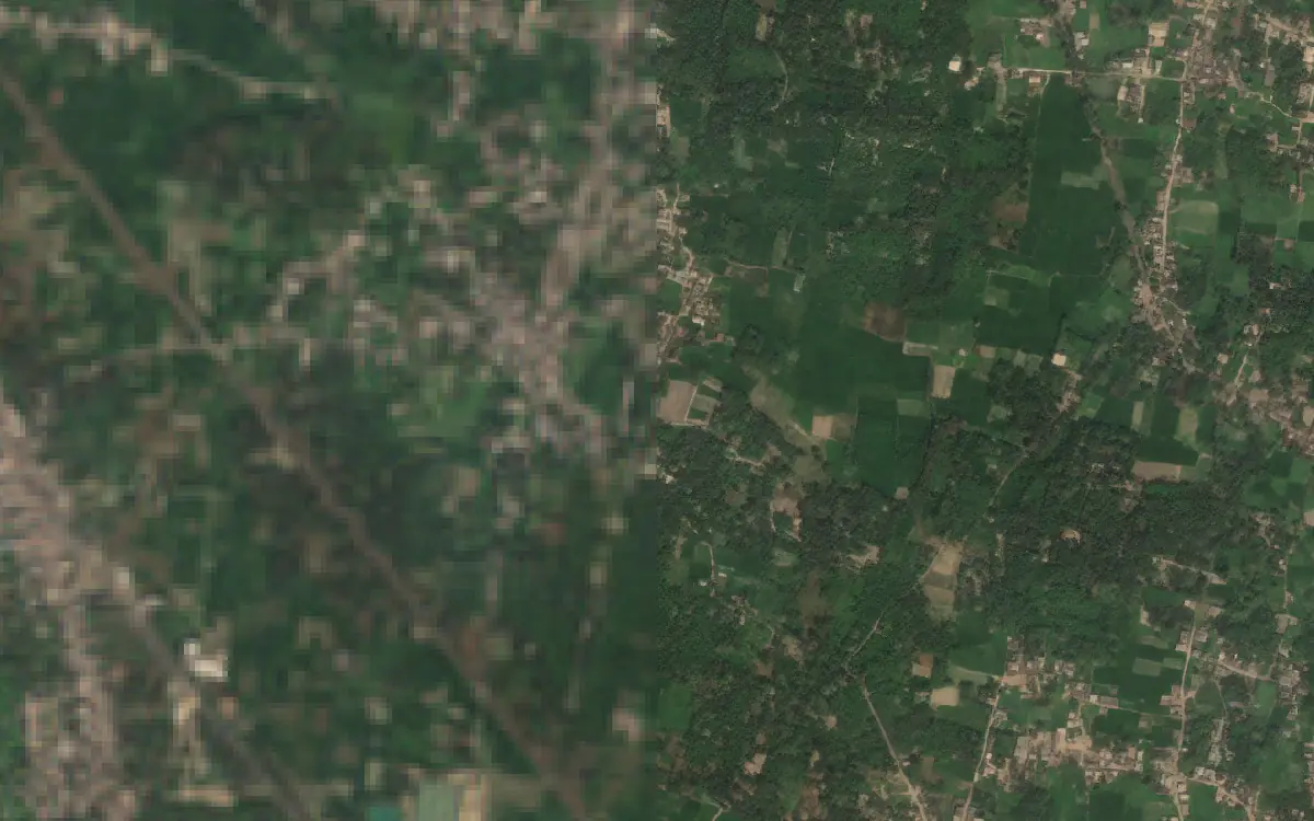
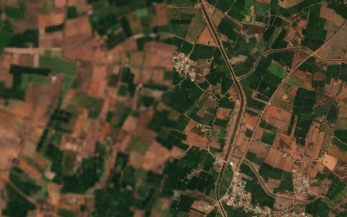
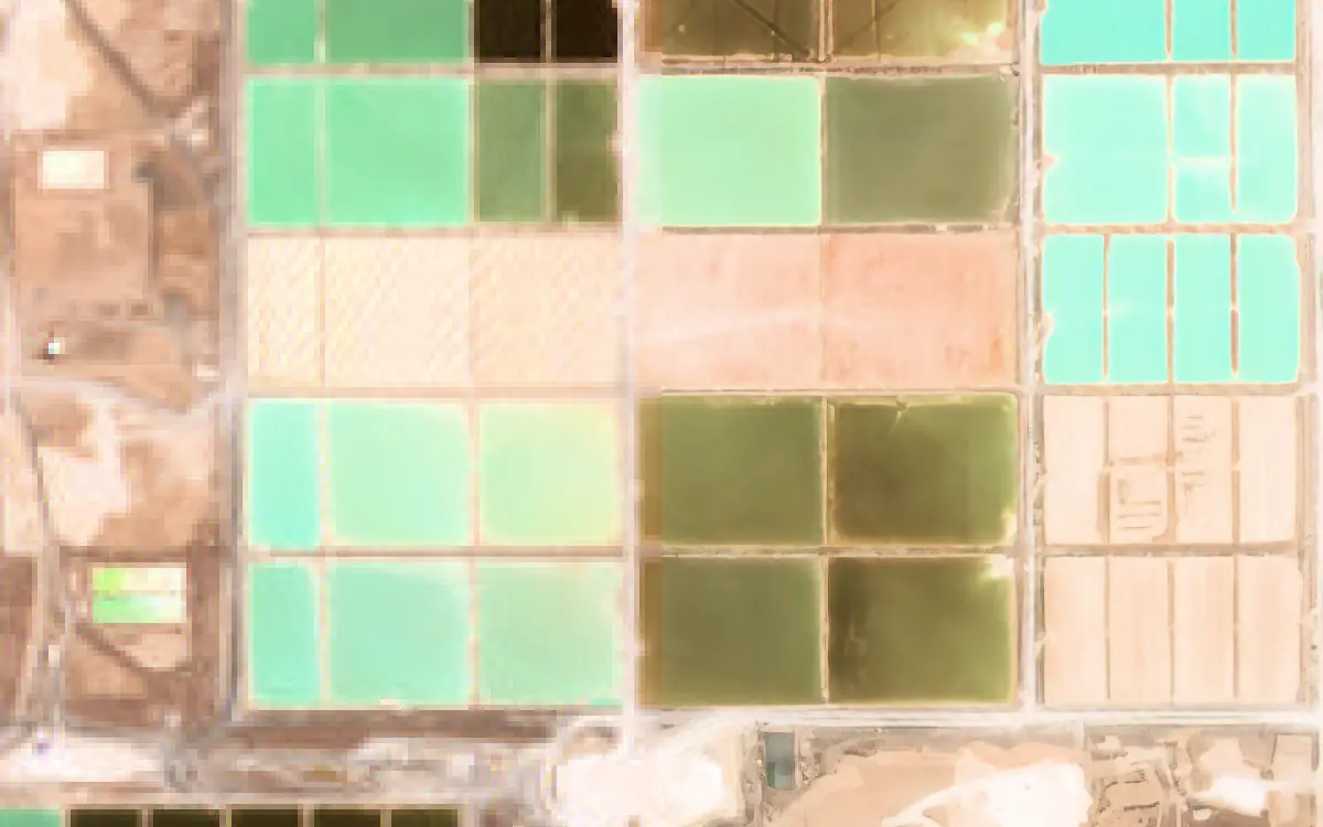
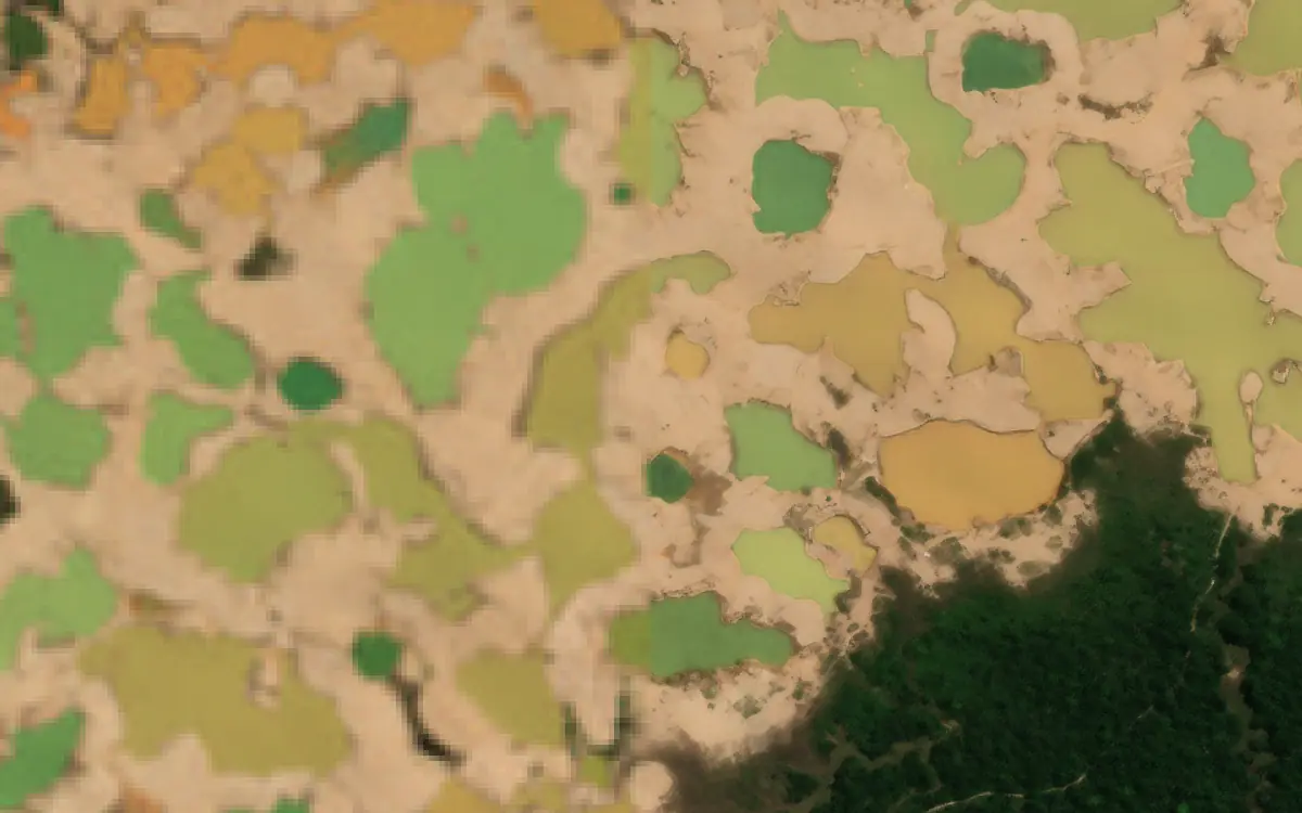
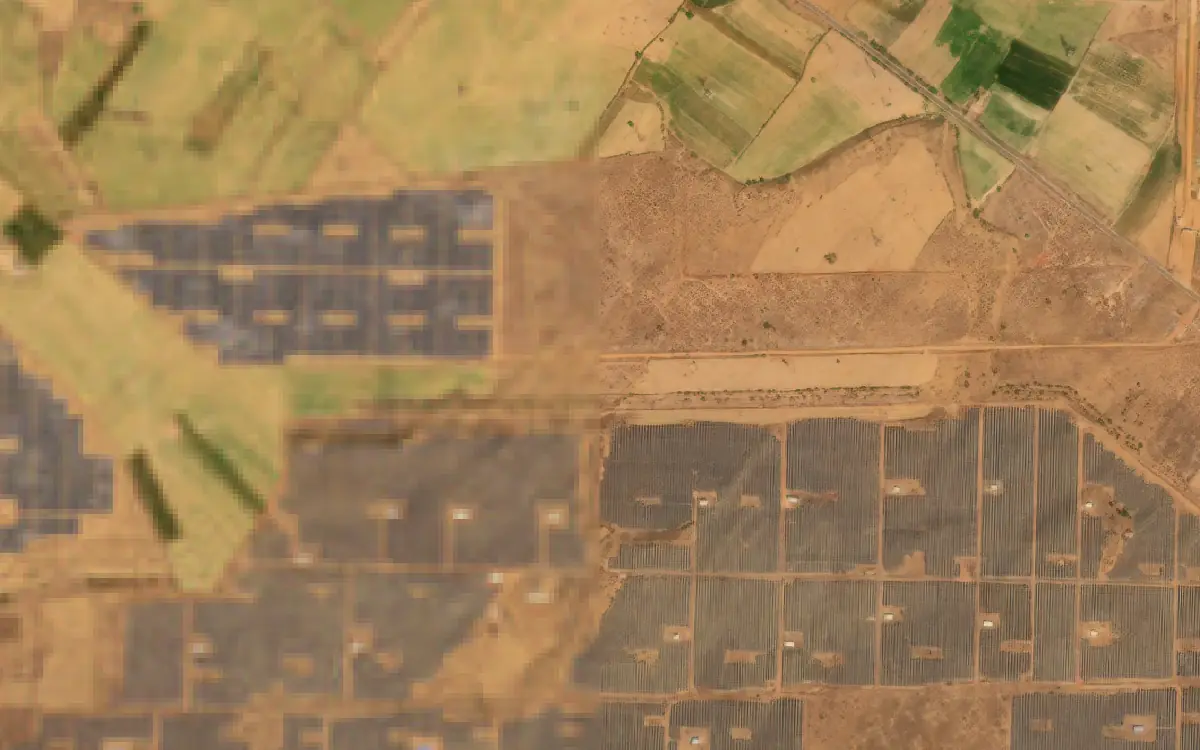
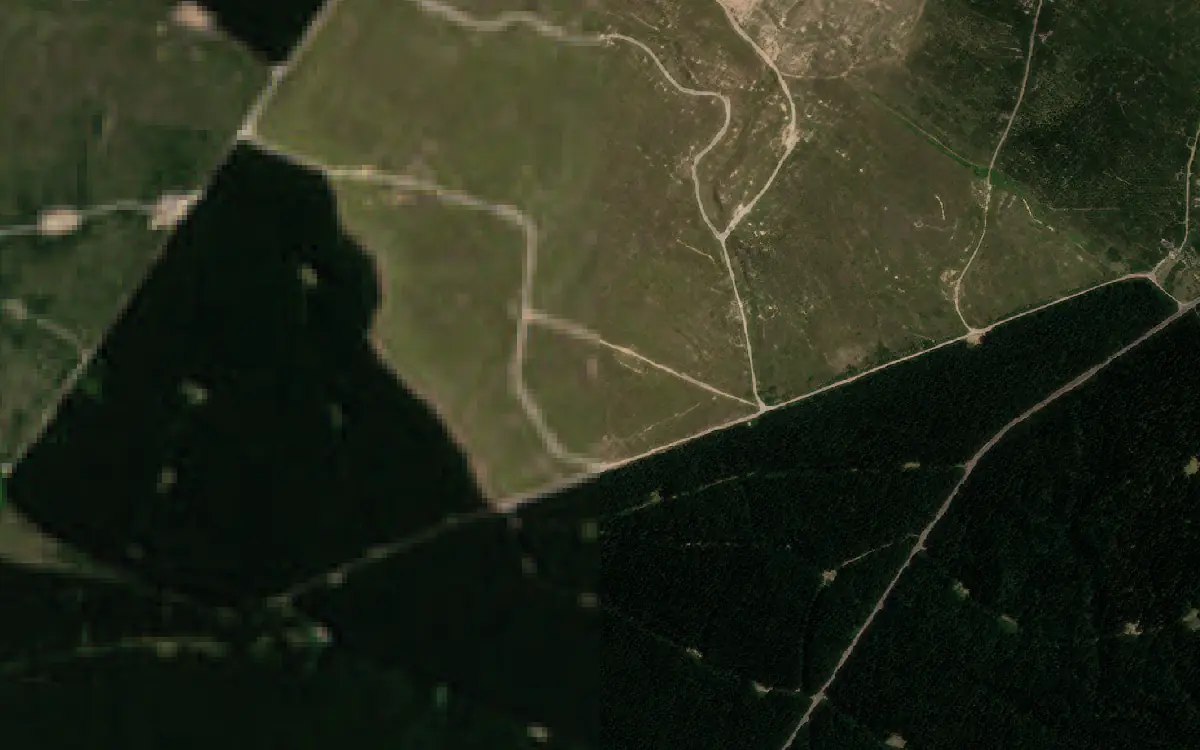
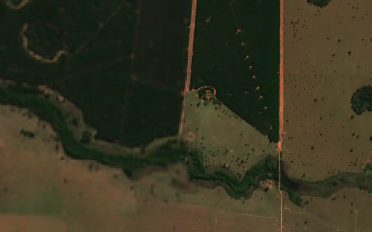
The original 10 m Sentinel-2 image beside the same scene super-resolved to 1 m by S2DR3. The viewer switches between true colour, NDVI and infra-red pseudo-colour.
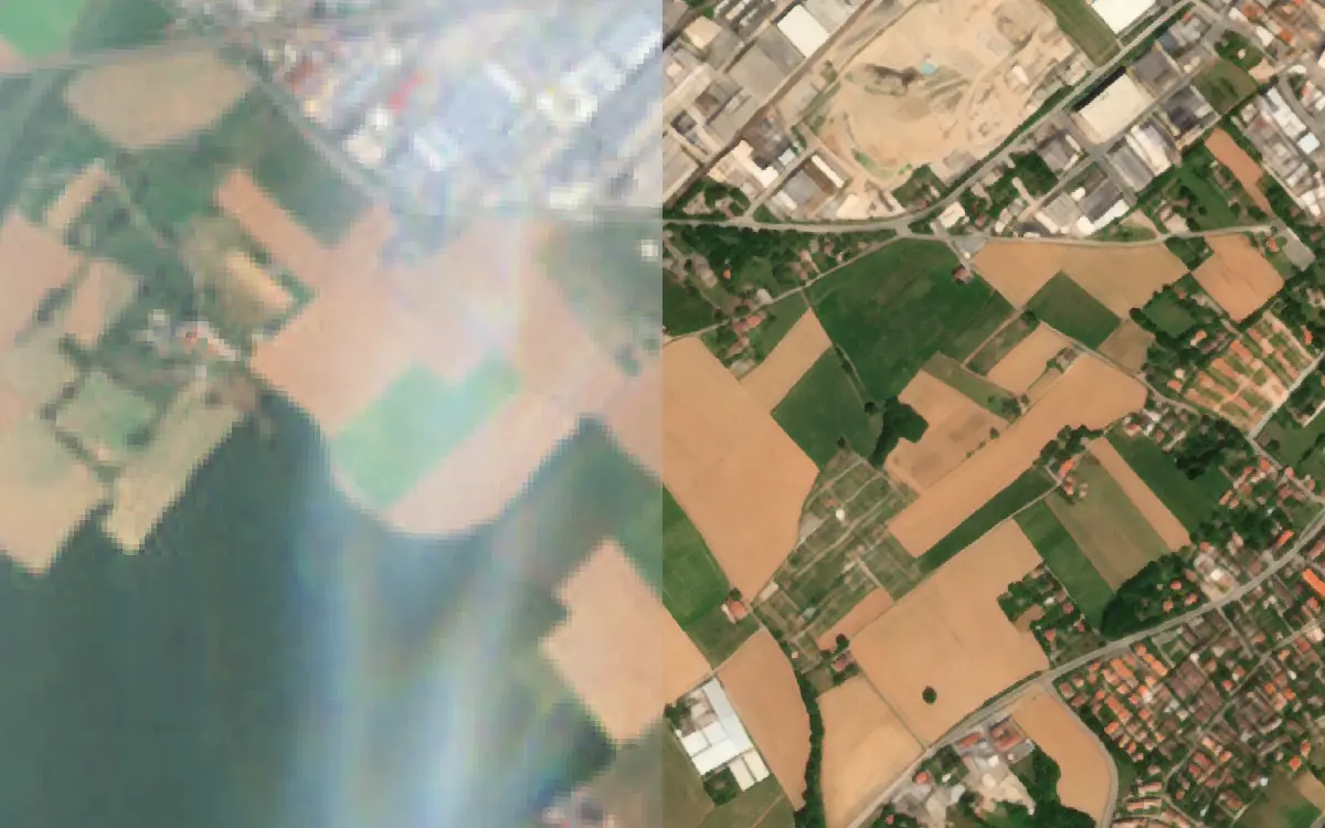
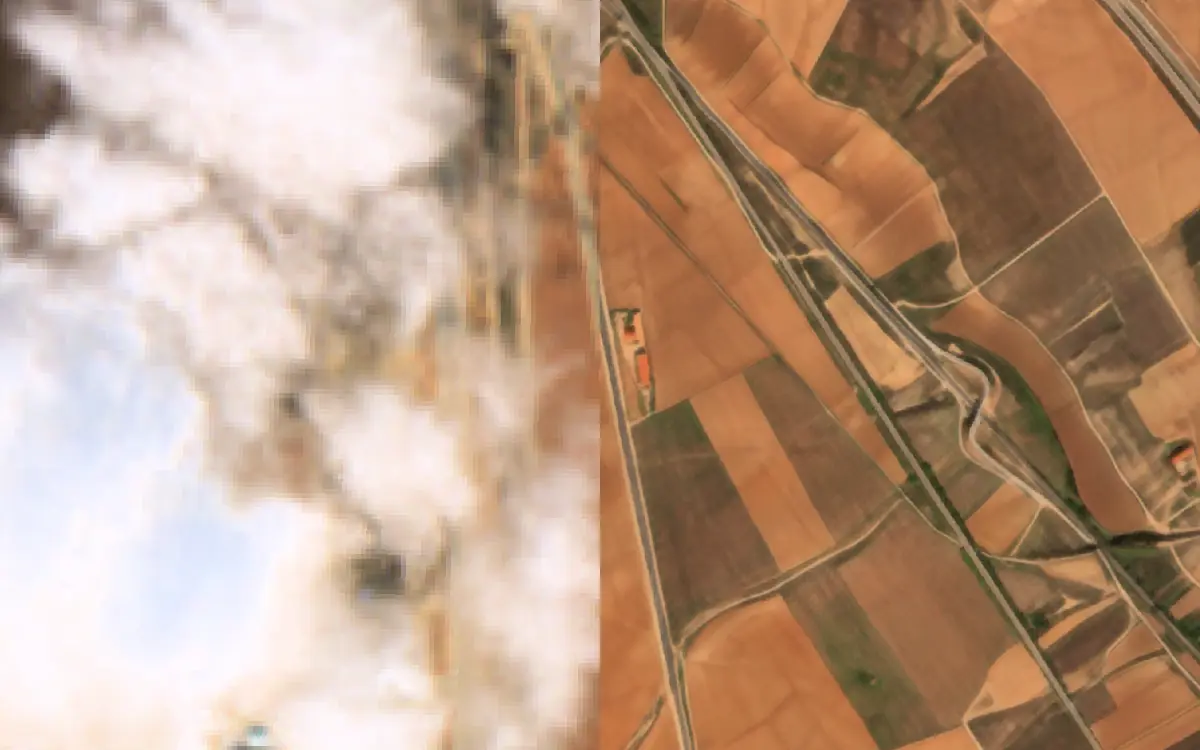
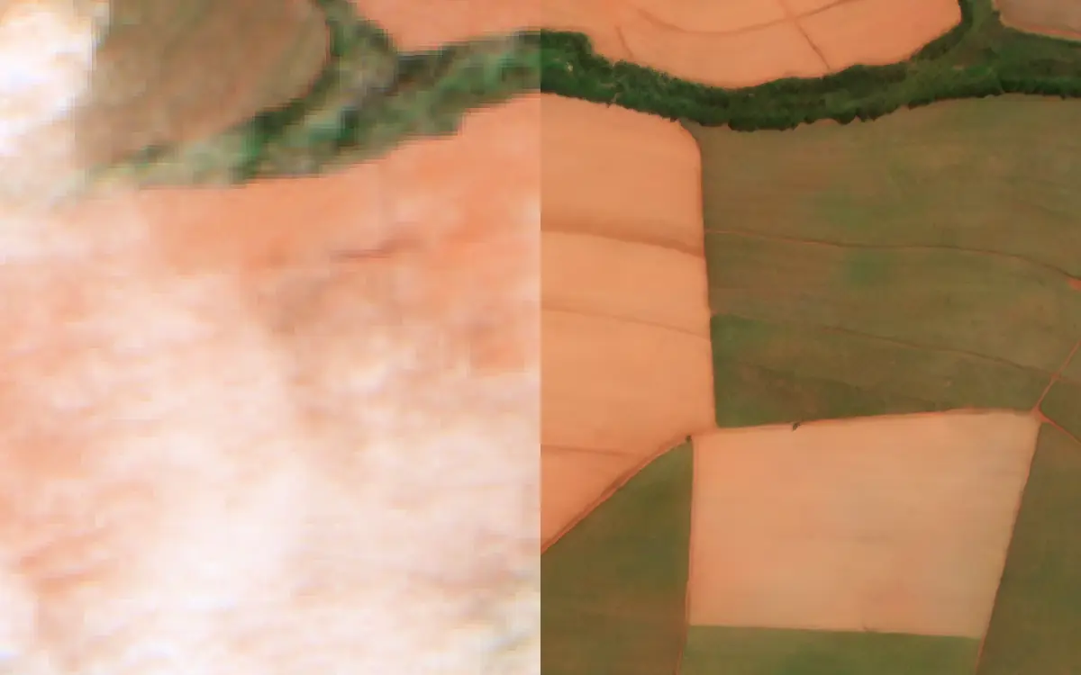
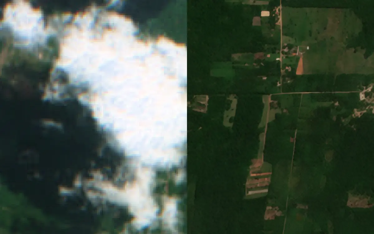
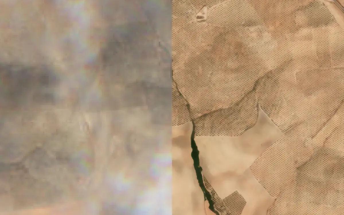
Sentinel-2 vs S2DR4
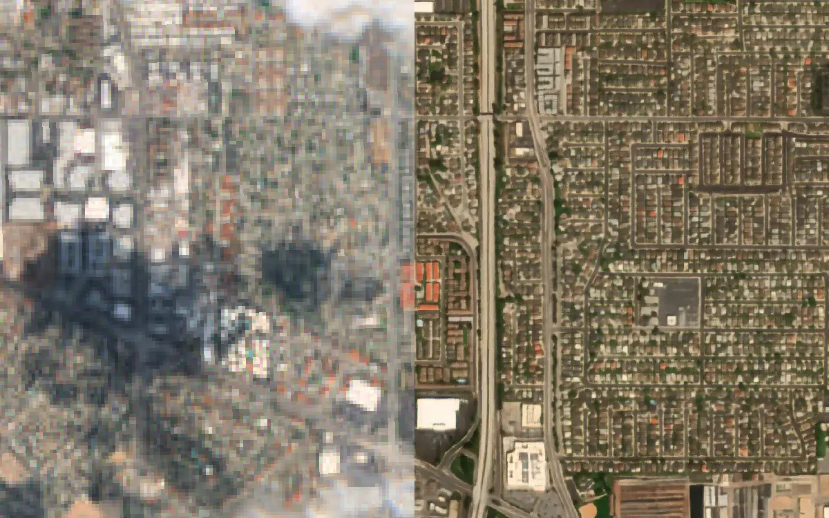
Sentinel-2 beside S2DR4, which adds cloud, haze and shadow removal to the S2DR3 reconstruction. These open in the earlier S2DR4 viewer, in true colour only, and have no GeoTIFF download.
Before / After
Two S2DR3 acquisitions of the same area at 1 m, one before an event and one after it. Drag the slider to see what changed.
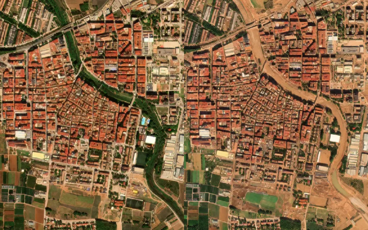
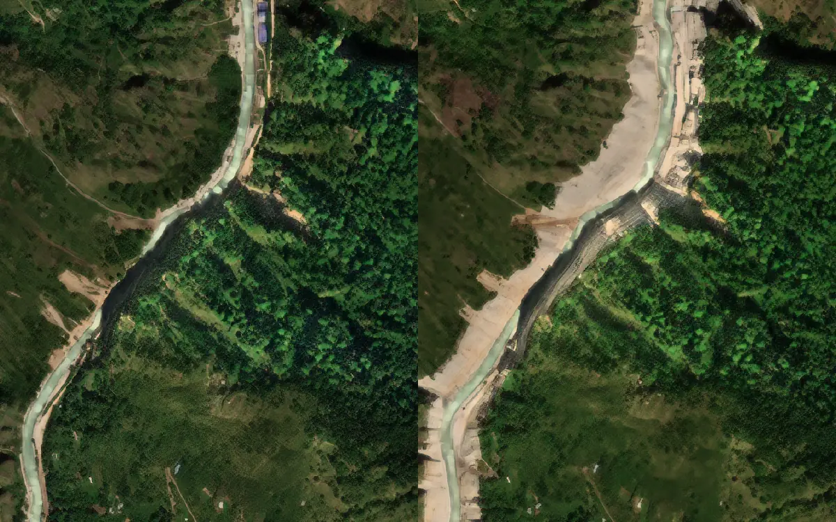
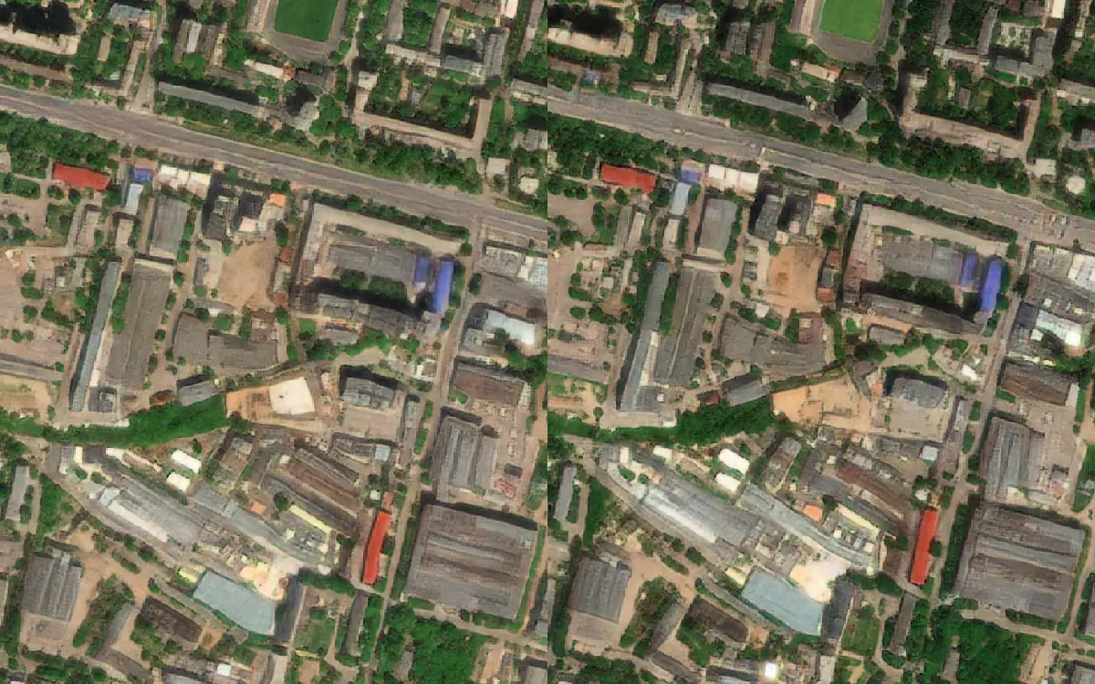
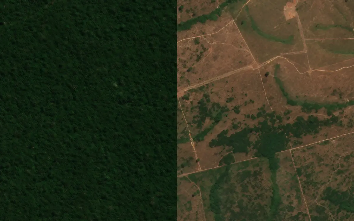
Each GeoTIFF is the full S2DR3 output for one date: 10 bands (B02–B08, B8A, B11, B12), 16-bit, 1 m pixels.
Contains modified Copernicus Sentinel data (2018–2026), processed by GammaEarth.
See your own area at 1 m
Sign up free: the Base Plan includes 75 credits every month to process your own area of interest through Google Colab or the QGIS plugin.