Land use and land cover
LUCERA: Land-Use Classification with Embeddings and Regional Annotations
A framework for high-resolution land-use and land-cover classification using AlphaEarth embeddings
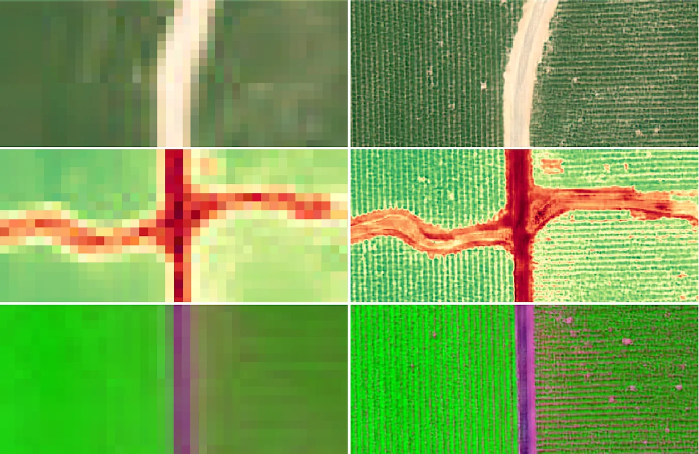
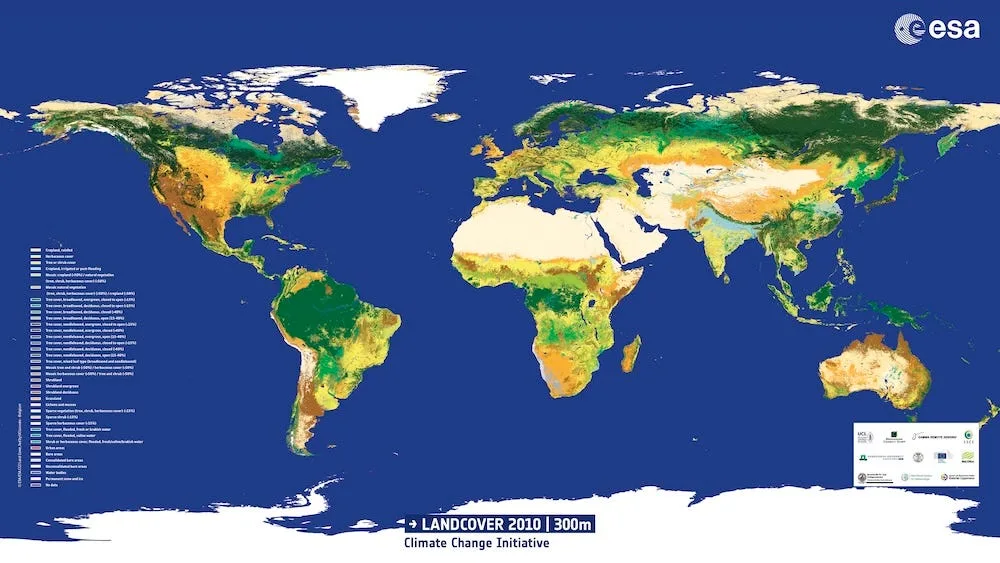
Existing land-cover products are coarse and years out of date. LUCERA takes CORINE's class definitions into the AlphaEarth embedding space, then densifies and extrapolates them — no spectral signatures, no temporal composites, one model for every region.